Elevate
Your Vision
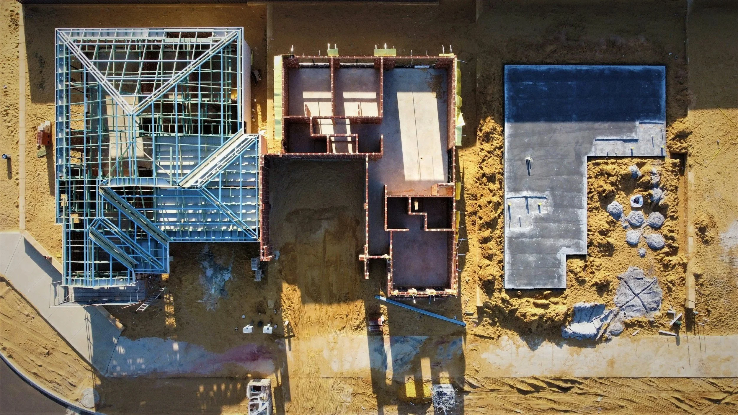
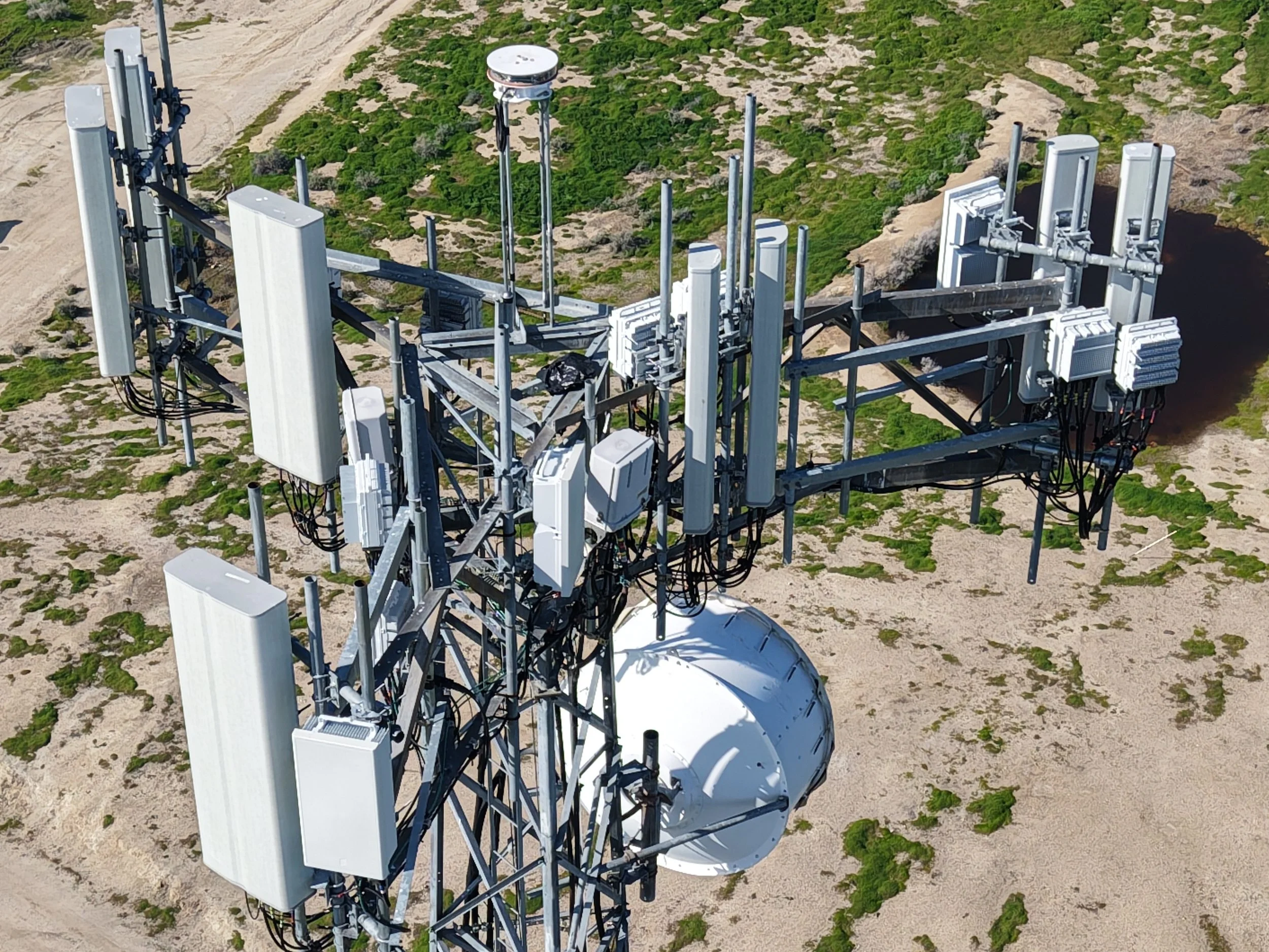
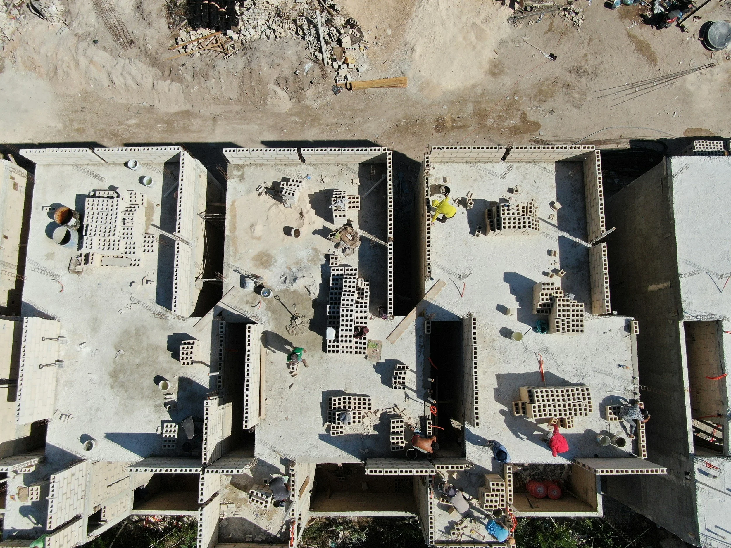
Aerial imaging, mapping, and site documentation for construction, inspections, and agriculture across the Kern County and 661.
FAA Part 107 certified
High-resolution imagery
Reliable turnaround
Aerial imaging, mapping, and site documentation for construction, inspections, and agriculture across the Kern County and 661.
FAA Part 107 certified
High-resolution imagery
Reliable turnaround